


- The Library Shop
- Privacy Policy
- Rules and Regulations
- Using the Internet
- Website Terms and Conditions
- Gifts of Materials to NYPL
-
© The New York Public Library, 2026
The New York Public Library is a 501(c)(3) | EIN 13-1887440
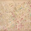
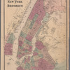
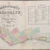
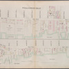
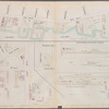
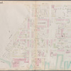
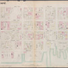
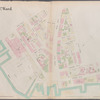
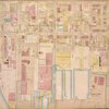
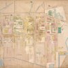
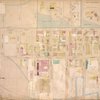
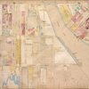
Higginson's insurance maps of the city of Brooklyn L. I. : surveyed, drawn & published [1868]
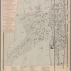
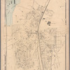
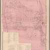
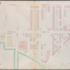
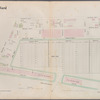
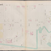
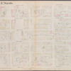
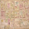
Lionel Pincus and Princess Firyal Map Division, The New York Public Library. "Brooklyn, Vol. 4, Double Page Plate No. 82; [Map bounded by Lorimer St., Skillman Ave., Conselyea St., North 2nd St., Loriner St., Stagg St., Schols St., Ten Eyck St., Mauger St., Grand St., Powers St.; Including Ainslie St., Devoe St., North 2nd St., Union Ave., Rewers St. late 12th St., South 3rd St., Keap St. late 10th St., Hooper St. late 11th St., South 2nd St., South 1st St., Grand St., Hope St.]" The New York Public Library Digital Collections. 1868. https://old-digitalcollections.nypl.org/items/64b498f8-4a86-c936-e040-e00a1806393b
Lionel Pincus and Princess Firyal Map Division, The New York Public Library. "Brooklyn, Vol. 4, Double Page Plate No. 82; [Map bounded by Lorimer St., Skillman Ave., Conselyea St., North 2nd St., Loriner St., Stagg St., Schols St., Ten Eyck St., Mauger St., Grand St., Powers St.; Including Ainslie St., Devoe St., North 2nd St., Union Ave., Rewers St. late 12th St., South 3rd St., Keap St. late 10th St., Hooper St. late 11th St., South 2nd St., South 1st St., Grand St., Hope St.]" New York Public Library Digital Collections. Accessed November 1, 2026. https://old-digitalcollections.nypl.org/items/64b498f8-4a86-c936-e040-e00a1806393b
Lionel Pincus and Princess Firyal Map Division, The New York Public Library. (1868). Brooklyn, Vol. 4, Double Page Plate No. 82; [Map bounded by Lorimer St., Skillman Ave., Conselyea St., North 2nd St., Loriner St., Stagg St., Schols St., Ten Eyck St., Mauger St., Grand St., Powers St.; Including Ainslie St., Devoe St., North 2nd St., Union Ave., Rewers St. late 12th St., South 3rd St., Keap St. late 10th St., Hooper St. late 11th St., South 2nd St., South 1st St., Grand St., Hope St.] Retrieved from https://old-digitalcollections.nypl.org/items/64b498f8-4a86-c936-e040-e00a1806393b
<ref name=NYPL>{{cite web | url=https://old-digitalcollections.nypl.org/items/64b498f8-4a86-c936-e040-e00a1806393b | title=
(cartographic)
Brooklyn, Vol. 4, Double Page Plate No. 82; [Map bounded by Lorimer St., Skillman Ave., Conselyea St., North 2nd St., Loriner St., Stagg St., Schols St., Ten Eyck St., Mauger St., Grand St., Powers St.; Including Ainslie St., Devoe St., North 2nd St., Union Ave., Rewers St. late 12th St., South 3rd St., Keap St. late 10th St., Hooper St. late 11th St., South 2nd St., South 1st St., Grand St., Hope St.], (1868)
|author=Digital Collections, The New York Public Library |accessdate=November  1, 2026 |publisher=The New York Public Library, Astor, Lenox, and Tilden Foundations}}</ref>
