


- The Library Shop
- Privacy Policy
- Rules and Regulations
- Using the Internet
- Website Terms and Conditions
- Gifts of Materials to NYPL
-
© The New York Public Library, 2026
The New York Public Library is a 501(c)(3) | EIN 13-1887440
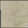
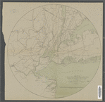
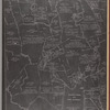
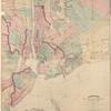
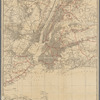
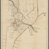
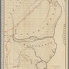
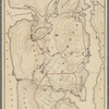
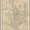
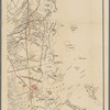
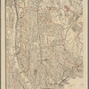
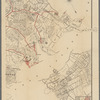
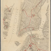
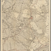
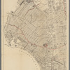
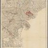
Lionel Pincus and Princess Firyal Map Division, The New York Public Library. "Map of the country thirty miles around New York showing railroads and trolley lines leading to places of historical interest" The New York Public Library Digital Collections. 1915. https://old-digitalcollections.nypl.org/items/b7329630-757e-0131-6b95-58d385a7bbd0
Lionel Pincus and Princess Firyal Map Division, The New York Public Library. "Map of the country thirty miles around New York showing railroads and trolley lines leading to places of historical interest" New York Public Library Digital Collections. Accessed September 16, 2026. https://old-digitalcollections.nypl.org/items/b7329630-757e-0131-6b95-58d385a7bbd0
Lionel Pincus and Princess Firyal Map Division, The New York Public Library. (1915). Map of the country thirty miles around New York showing railroads and trolley lines leading to places of historical interest Retrieved from https://old-digitalcollections.nypl.org/items/b7329630-757e-0131-6b95-58d385a7bbd0
<ref name=NYPL>{{cite web | url=https://old-digitalcollections.nypl.org/items/b7329630-757e-0131-6b95-58d385a7bbd0 | title=
(cartographic)
Map of the country thirty miles around New York showing railroads and trolley lines leading to places of historical interest, (1915)
|author=Digital Collections, The New York Public Library |accessdate=September 16, 2026 |publisher=The New York Public Library, Astor, Lenox, and Tilden Foundations}}</ref>