Click to visit the main New York Public Library Homepage
The New York Public Library
Digital Collections
About Digital Collections
Browse
Search only public domain materials
Items
Collections
Divisions
Home
Search
Browse
About
Search only public domain materials
Items
Collections
Divisions
Digital Collections
Using Images
Using Data
Search
Filtered search
Show filters
Hide filters
Show Only Public Domain
topic
Administrative and political divisions
161
Railroads
151
Landowners
91
Real property
83
History
72
More
Less
name
Burr, David H., 1803-1875
63
Tanner, Henry Schenck, 1786-1858
29
Rawdon, Clark & Co
25
Rawdon, Wright & Co
25
Mitchell, S. Augustus (Samuel Augustus), 1792-1868
23
More
Less
collection
Maps of North America
516
Maps of New York City and State
236
Atlases of the United States
48
Lawrence H. Slaughter Collection of English maps, charts, globes, books and atlases
34
Series of advertising cards issued by Arbuckle Bros. Coffee Company, each consisting of a map of a country of the world with related illustrations
5
More
Less
place
New York (State)
242
United States
156
New York (N.Y.)
87
Massachusetts
60
New Jersey
49
More
Less
genre
Maps
865
Cadastral maps
54
Atlases
44
Tourist maps
7
Facsimiles
6
More
Less
publisher
publisher not identified
64
For sale by the principal booksellers
20
s.n
15
s.n.,
15
J.H. Colton
11
More
Less
division
Map Division
854
Schomburg Jean Blackwell Hutson Research and Reference Division
11
Rare Book Division
1
Wallach Division: Picture Collection
1
type
cartographic
865
still image
12
text
7
Date Range
to
867 results found
Filtering on:
x
Note
: Relief shown by hachures.
Sort by:
Title
Date created
Date digitized
Sequence
Results 501 - 550
Information map of part of Ge…
Map of all points of interest…
Map no. 12, Port Hudson and v…
Distance map of the state of …
Map showing the route of the …
Map of the western and middle…
Map of North America
m
Vicinity of the Rapidan and R…
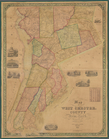
Map of West Chester County, N…
m
Map of the city of New York
Territory of Columbia
Vereinigte Staaten in Nord Am…
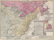
Northern provinces of the Uni…
Southern provinces of the Uni…
Île de New-York, partie de Lo…
To His Excellency Sr. Henry M…
Map of the country thirty mil…
Mappa geographica Provinciae …
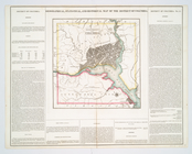
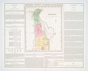
Geographical, statistical, an…
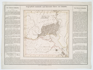
District Columbia.
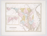
Maryland
m
A map of Virginia : formed fr…
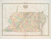
Virginia, Maryland, and Delaw…
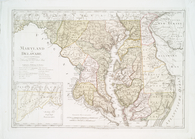
Maryland und Delaware
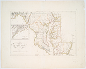
Maryland.
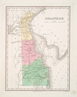
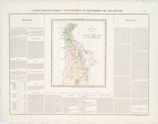
Delaware
Delaware
Delaware.
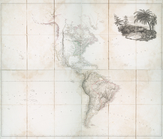
Map of America
m
A map of Virginia : formed fr…
Die vereinigten Staaten von N…
Map of the northern part of t…
The engagement on the White P…
Plan of the position which th…
Washington city
Road from Philadelphia to Was…
Road from Philadela. to New Y…
United States or Fredon
Plan d'York en Virginie, avec…
m
Map of the world on a globula…
Position der Königl; Grosbrit…
A plan of the operations of t…
Carte des troubles de l'Améri…
m
A map of Virginia : formed fr…
Map of the boundaries of the …
Messrs. V.K. Stevenson & Son'…
Map of the country thirty mil…
Green-wood cemetery
Map of the state of New York …
Map of New-York : on the impr…
1
2
3
4
Previous
Next
1
2
3
4
Previous
Next