Click to visit the main New York Public Library Homepage
The New York Public Library
Digital Collections
About Digital Collections
Browse
Search only public domain materials
Items
Collections
Divisions
Home
Search
Browse
About
Search only public domain materials
Items
Collections
Divisions
Digital Collections
Using Images
Using Data
Search
Filtered search
Show filters
Hide filters
Show Only Public Domain
topic
Streets
29855
Street photography
28699
Real property
5830
Cities & towns
5010
Fire insurance
5007
More
Less
name
Stone, Dylan, 1967-
25428
Sanborn Map Company
5007
Colmer, Roy, 1935-2014
3122
Davies, Diana, 1938-
3117
Huberland, Morris, 1909-
2912
More
Less
collection
Drugstore Photographs, Or, A Trip Along the Yangtze River, 1999, by Dylan Stone
25428
Atlases of New York City
7716
Robert N. Dennis collection of stereoscopic views
3419
Scrapbooks of New York City views
3124
Doors, NYC
3122
More
Less
place
x
New York (N.Y.)
New York (State)
49894
New York
42847
Manhattan (New York, N.Y.)
33256
Brooklyn (New York, N.Y.)
3071
More
Less
genre
Photographs
51712
Maps
7664
Stereographs
3435
Clippings
2251
Newspapers
1386
More
Less
publisher
Sanborn Map Company
5140
W.G. Bryan and Associates
1356
MIT Press
942
G.W. Bromley & Co
673
E. Robinson Co
223
More
Less
division
Wallach Division: Photography Collection
37596
Map Division
8492
Milstein Division
6795
Manuscripts and Archives Division
4134
Billy Rose Theatre Division
2359
More
Less
type
still image
55989
cartographic
7668
text
4944
notated music
41
sound recording
8
More
Less
Date Range
to
65,781 results found
Filtering on:
x
Place
: New York (N.Y.)
Sort by:
Title
Date created
Date digitized
Sequence
Results 22501 - 22550
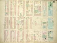
Plate 27: Map bounded by Mont…
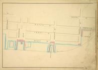
Map bounded by Cherry St, Cor…
Map bounded by Sixth Street, …
Plate 25: Map bounded by Bowe…
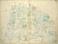
Plate 6: Map bounded by Broad…
Map bounded by Avenue B, Aven…
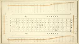
Block No. 574 Map bounded by …
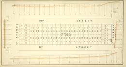
Block No. 576 Map bounded by …
Map bounded by Avenue A, East…
Map bounded by Cherry St, Cli…
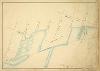
Map bounded by Pier - Line, W…
Map bounded by 7th Avenue, 96…
Map bounded by Pier - Line 40…
Plate 19: Map bounded by West…
Maps of the City of New York
Block No. 681 Map bounded by …
Insurance Maps of The City of…
Block No. 573 Map bounded by …
Block No. 682 Map bounded by …
Map bounded by Jackson Street…
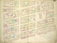
Plate 24: Map bounded by Cros…
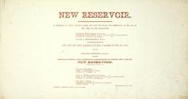
New reservoir. [Order creati…
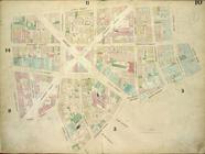
Plate 10: Map bounded by Jame…
Map bounded by Lewis Street, …
Map bounded by Pier - Line 15…
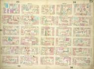
Plate 23: Map bounded by Cana…
Maps of the Wharves & Piers f…
Map bounded by East 17th Stre…
Map bounded by Sixth Street, …
Index to 300 ft. scale lithog…
Bronx, Topographical Map Shee…
Bronx, Topographical Map Shee…
Bronx, Topographical Map Shee…
Bronx, Topographical Map Shee…
Bronx, Topographical Map Shee…
Bronx, Topographical Map Shee…
Bronx, Topographical Map Shee…
Bronx, Topographical Map Shee…
Bronx, Topographical Map Shee…
Bronx, Topographical Map Shee…
Bronx, Topographical Map Shee…
Bronx, Topographical Map Shee…
Bronx, Topographical Map Shee…
Bronx, Topographical Map Shee…
Bronx, Topographical Map Shee…
Insurance Maps of Brooklyn Ne…
Index
Brooklyn V. 2, Double Page Pl…
Brooklyn V. 2, Double Page Pl…
Brooklyn V. 2, Double Page Pl…
1
2
…
88
89
90
91
92
93
94
95
…
263
264
Previous
Next
1
2
…
88
89
90
91
92
93
94
95
…
263
264
Previous
Next