Click to visit the main New York Public Library Homepage
The New York Public Library
Digital Collections
About Digital Collections
Browse
Search only public domain materials
Items
Collections
Divisions
Home
Search
Browse
About
Search only public domain materials
Items
Collections
Divisions
Digital Collections
Using Images
Using Data
Search
Filtered search
Show filters
Hide filters
Show Only Public Domain
topic
Exhibitions
178828
Fairs
177226
Military uniforms
31522
Real property
11066
History
8332
More
Less
name
New York World's Fair (1939-1940 : New York, N.Y.)
177204
United States. Farm Security Administration
36166
Vinkhuijzen, Hendrik Jacobus, 1843-1910
31267
Buttolph, Frank, 1850-1924
18172
Lee, Russell, 1903-1986
12074
More
Less
collection
New York World's Fair 1939 and 1940 Incorporated records, [microform]
177198
Robert N. Dennis collection of stereoscopic views
42185
Farm Security Administration Photographs
35917
The Vinkhuijzen collection of military uniforms
31267
The Buttolph collection of menus
18172
More
Less
place
New York (State)
208088
New York
189079
New York (N.Y.)
15873
France
9583
United States
9097
More
Less
genre
Cards
178067
index cards
177198
Photographs
95719
Prints
59402
Illustrations
57445
More
Less
publisher
Detroit Publishing Company
5647
Sanborn Map Company
5145
G.W. Bromley & Co
2371
s.n
1891
L. Prang & Co
1281
More
Less
division
Manuscripts and Archives Division
203799
Wallach Division: Photography Collection
91425
General Research Division
49545
Rare Book Division
29868
Wallach Division: Print Collection
26079
More
Less
type
still image
326265
text
245640
cartographic
24216
notated music
6606
three dimensional object
1257
More
Less
Date Range
to
487,401 results found
Filtering on:
x
Rights
: Public Domain
Sort by:
Title
Date created
Date digitized
Sequence
Results 429751 - 429800
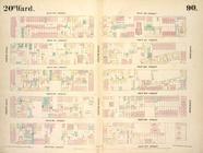
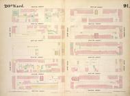
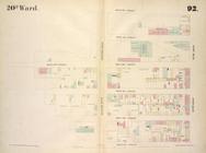
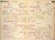
Map bounded by East 37th Stre…
Map bounded by West 37th Stre…
Map bounded by Second Avenue,…
Map bounded by East 42nd Stre…
Map bounded by West 42nd Stre…
Map bounded by West 27th Stre…
Map bounded by West 27th Stre…
Map bounded by West 27th Stre…
Map bounded by West 32nd Stre…
Map bounded by West 32nd Stre…
Map bounded by West 32nd Stre…
Map bounded by West 37th Stre…
Maps of the city of New York …
Maps of the city of New York,…
Map bounded by West Street, A…
Map bounded by West 37th Stre…
Map bounded by West 37th Stre…
Map bounded by West 42nd Stre…
Map bounded by West 42nd Stre…
Map bounded by West 42nd Stre…
Plate 4, Part of Ward 1. [Map…
Plate 5, Part of Wards 1 & 3.…
Plate 6, Part of Wards 1 & 3:…
Plate 7, Part of Ward 1: [Map…
Plate 8, Part of Wards 1 & 2:…
Plate 9, Part of Wards 1 & 2:…
Plate 10, Part of Ward 2: [Ma…
Plate 11, Part of Wards 1 & 2…
Plate 12, Part of Ward 4: [Ma…
Plate 13, Part of Ward 4: [Ma…
Plate 14, Part of Ward 4: [Ma…
Plate 15, Part of Ward 4: [Ma…
Plate 16, Part of Ward 4: [Ma…
Atlas of the Borough of Richm…
Index to Streets and Avenues,…
Outline & Index Map of The Bo…
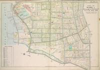
Plate 1, Part of Ward 1 : [Ma…
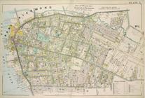
Plate 2 Part of Ward 1: [Map …
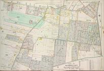
Plate 3, Part of Ward 1 : [Ma…
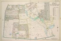
Plate 17, Part of Ward 4: [Ma…
Plate 18, Part of Wards 4 & 5…
Plate 19, Part of Wards 4 & 5…
Plate 20, Part of Wards 4 & 5…
Plate 21, Part of Ward 5: [Ma…
Plate 22, Part of Ward 5: [Ma…
Plate 23, Part of Ward 5: [Ma…
Plate 24, Part of Ward 5: [Ma…
Plate 25, Part of Ward 5: [Ma…
Plate 26, Part of Ward 5: [Ma…
Plate 27, Part of Wards 2, 3,…
1
2
…
1717
1718
1719
1720
1721
1722
1723
1724
…
1949
1950
Previous
Next
1
2
…
1717
1718
1719
1720
1721
1722
1723
1724
…
1949
1950
Previous
Next