
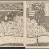
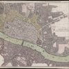
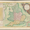
![Cantebrigia, opulentissimi Angli[a]e Regni vrbs celeberrimi nominis, ab Academi[a]e conditore Cantabro, cognominata : a Granta fluuio vicino Cairgrant, saxonib. Grauntecestre, et Grantebrige iam olim nuncupata.](https://images.nypl.org/index.php?id=ps_map_cd7_088&t=b)

- The Library Shop
- Privacy Policy
- Rules and Regulations
- Using the Internet
- Website Terms and Conditions
- Gifts of Materials to NYPL
-
© The New York Public Library, 2026
The New York Public Library is a 501(c)(3) | EIN 13-1887440
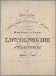
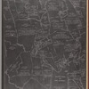
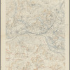
Lionel Pincus and Princess Firyal Map Division, The New York Public Library. "Ordnance Survey of England and Wales, old series, one inch to one mile map" The New York Public Library Digital Collections. 1805 - 1894. https://old-digitalcollections.nypl.org/items/6d6984e0-9a43-0130-6721-58d385a7bbd0
Lionel Pincus and Princess Firyal Map Division, The New York Public Library. "Ordnance Survey of England and Wales, old series, one inch to one mile map" New York Public Library Digital Collections. Accessed September 17, 2026. https://old-digitalcollections.nypl.org/items/6d6984e0-9a43-0130-6721-58d385a7bbd0
Lionel Pincus and Princess Firyal Map Division, The New York Public Library. (1805 - 1894). Ordnance Survey of England and Wales, old series, one inch to one mile map Retrieved from https://old-digitalcollections.nypl.org/items/6d6984e0-9a43-0130-6721-58d385a7bbd0
<ref name=NYPL>{{cite web | url=https://old-digitalcollections.nypl.org/items/6d6984e0-9a43-0130-6721-58d385a7bbd0 | title=
(cartographic)
Ordnance Survey of England and Wales, old series, one inch to one mile map, (1805 - 1894)|author=Digital Collections, The New York Public Library |accessdate=September 17, 2026 |publisher=The New York Public Library, Astor, Lenox, and Tilden Foundations}}</ref>